
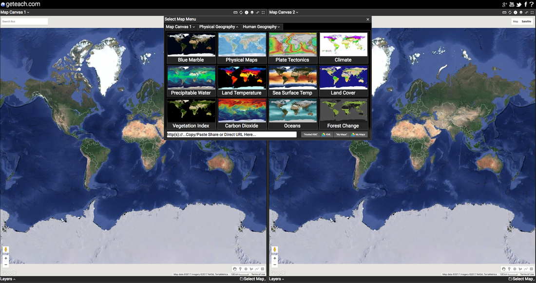
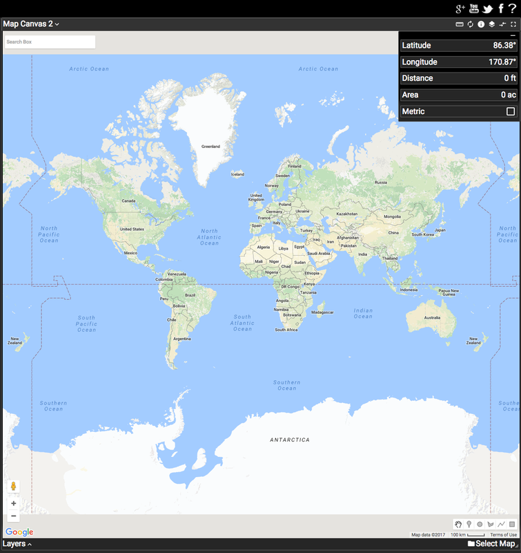
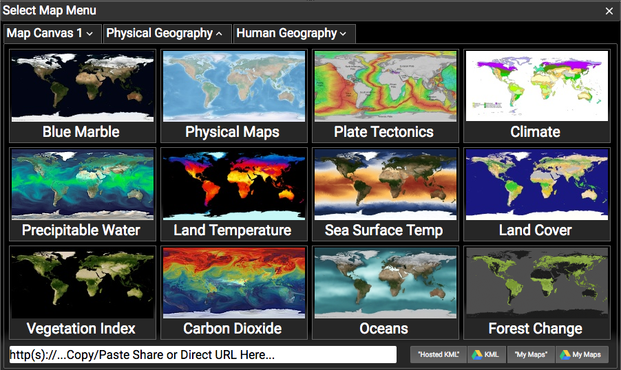
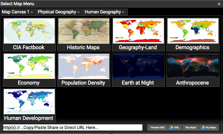
Layer and compare side by side Google Earth maps of temperatures, carbon dioxide, plate tectonics, oceans, deforestation, population density, economics, sea surface temps and more.
|
|
Want more GETeach?
|

|

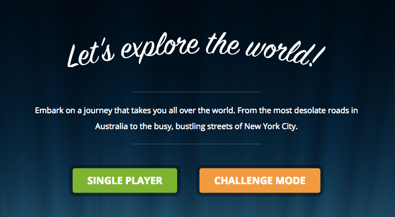
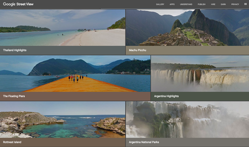
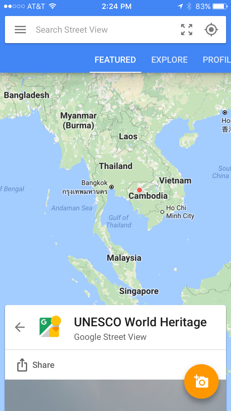
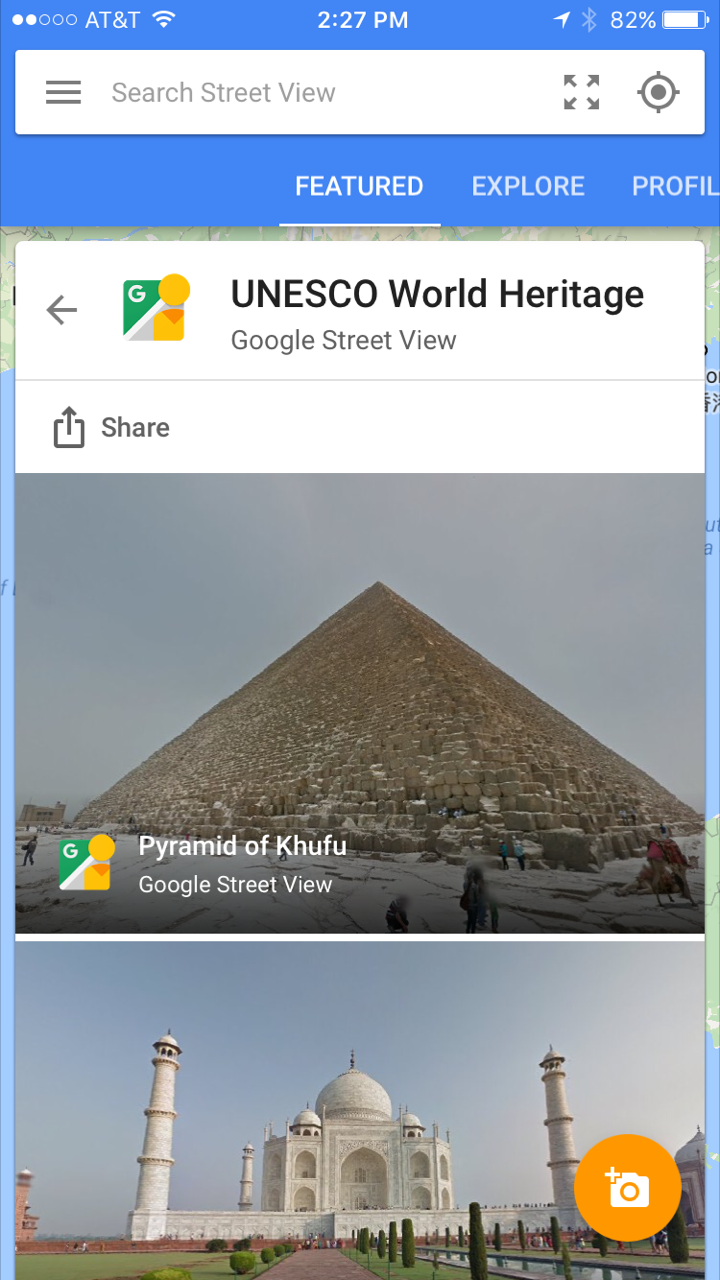
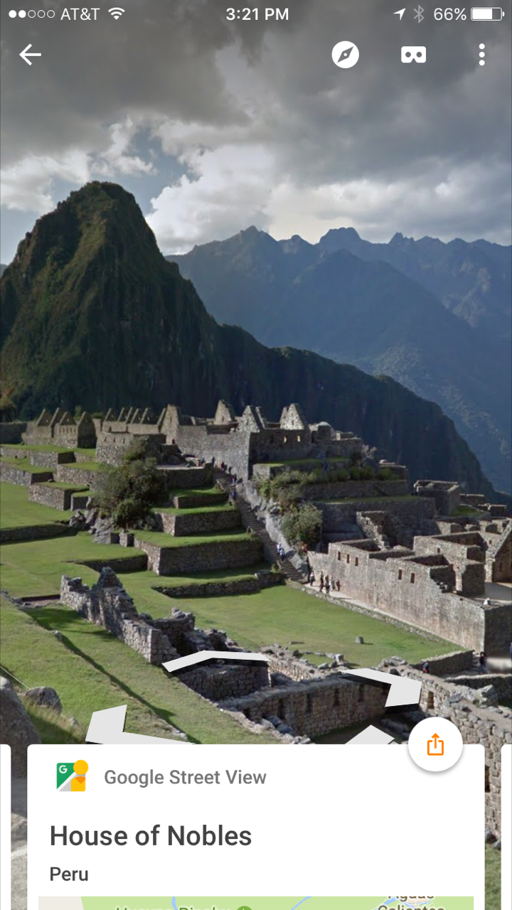
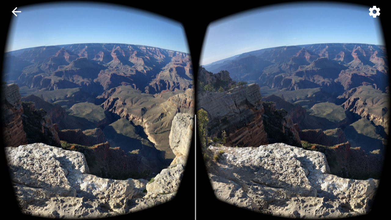
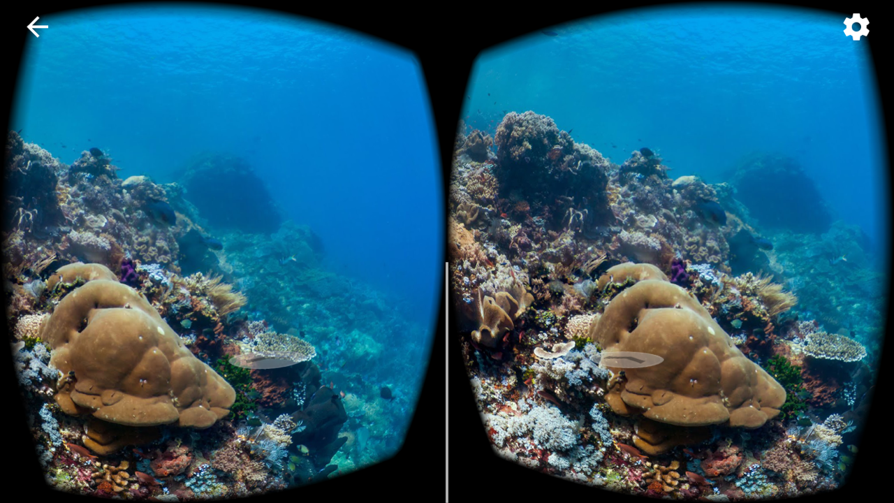
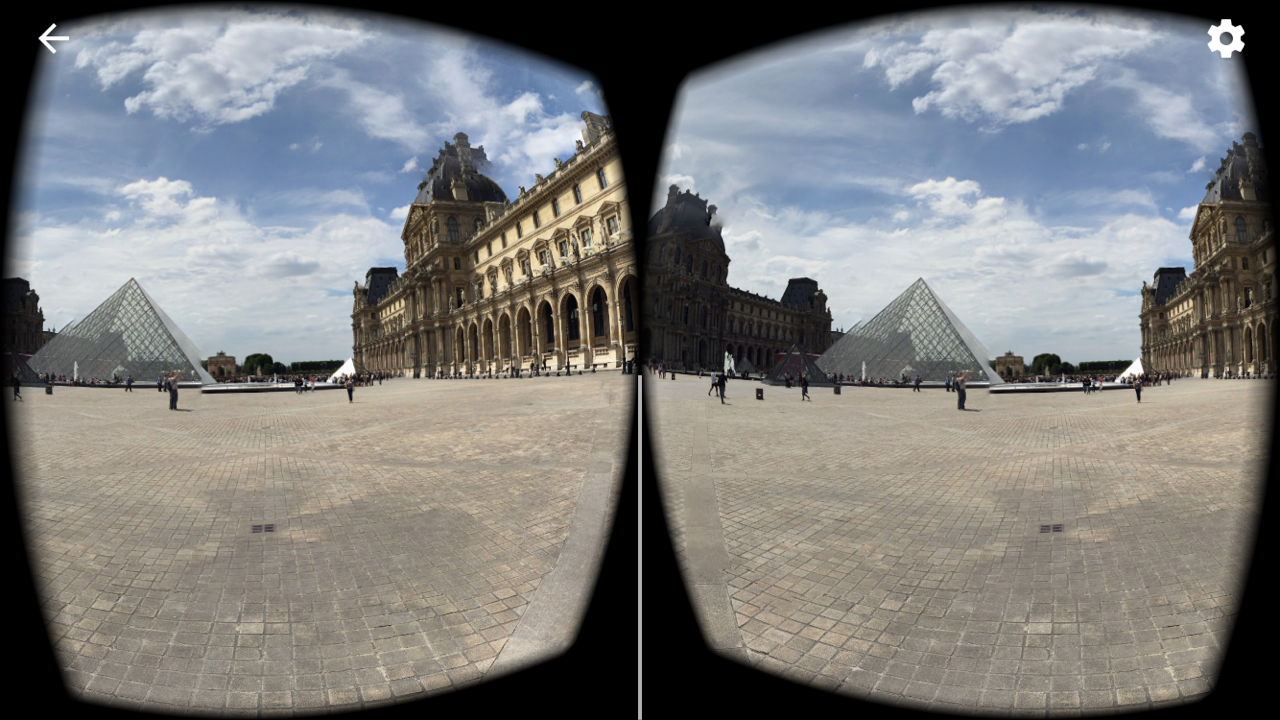
Global Travel...no passports needed!
Breathtaking 360 photos will transport your students around the world without ever leaving your classroom.
|
|
|
|
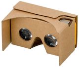
Google Street View App:
|
|
Example pictures snapped with my phone...


|
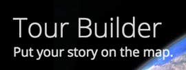
Explore Tour Builder's Online Gallery
Build your own tour! Online Tutorial
|
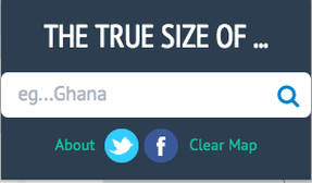
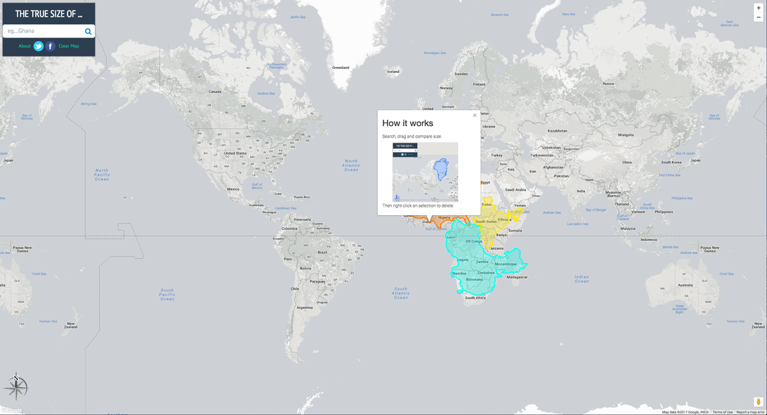
Countries near the equator appear too small? Countries near the poles look too big? Not a problem... This app allows you to see the TRUE SIZE of every country and move it around the map! |
|
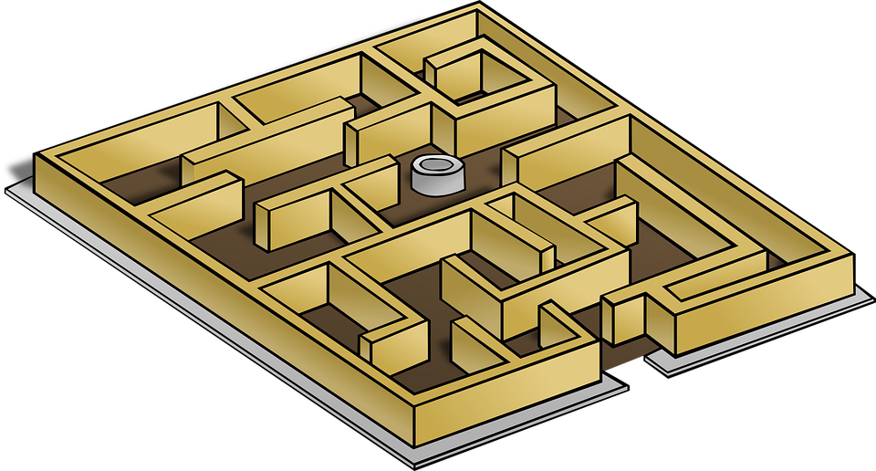
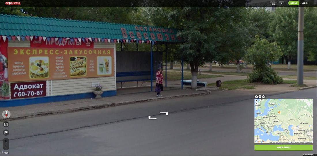
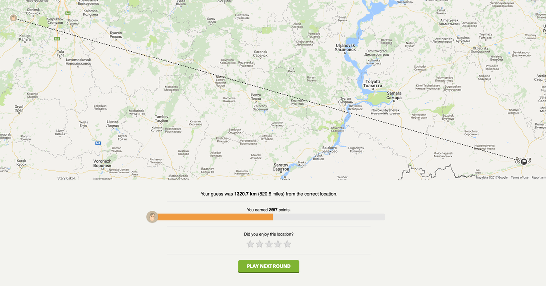
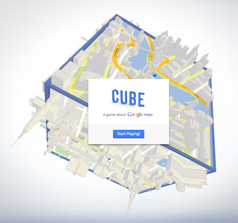
Like Labyrinth...but with Google Maps!
|
|

|
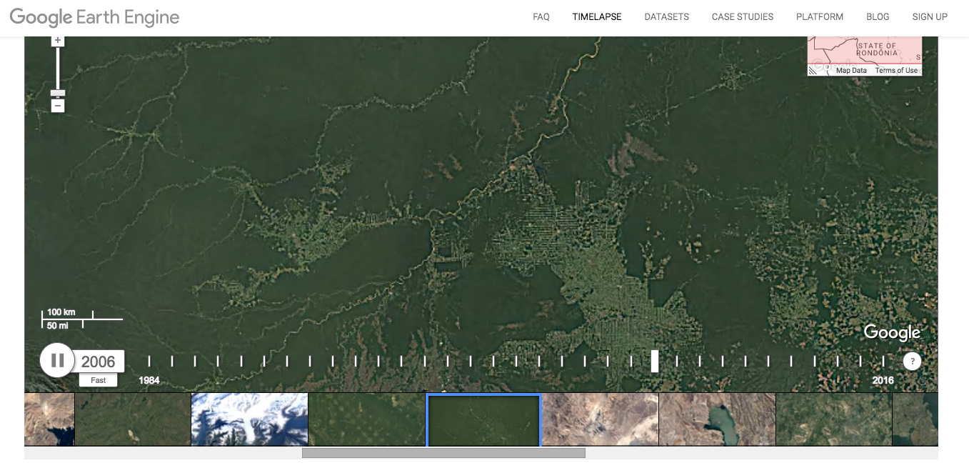
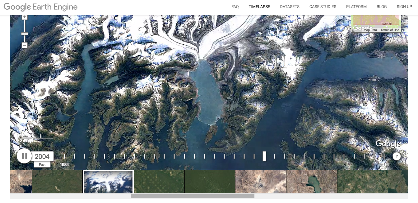
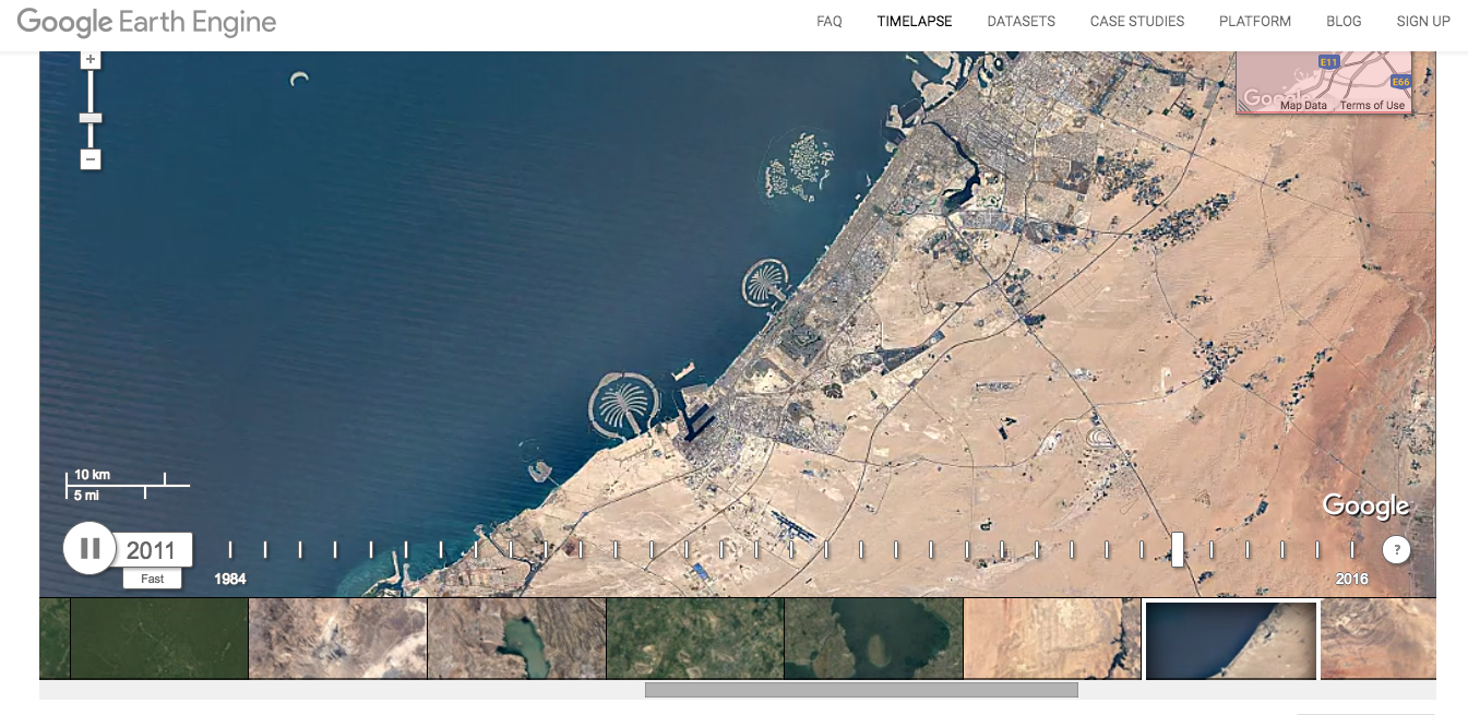
Time Travel...
Move forward or backward in time with Google Earth
|
|
|

|
|
